AI Services
AI Development
We develop the methods that turn your data into reliable results: machine learning, AI pipelines, agents, multimodal analysis, and hybrid models.

Solutions
Analysing aerial and satellite images with AI, recognising spatial relationships, and turning geodata into concrete insights.
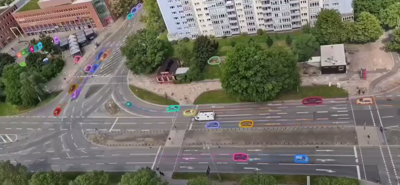
Infrastructure planning, environmental monitoring, agriculture, and public administrations that must make sound decisions in public spaces.
Delivery as a deployed system, integrated into existing geographic information systems, also in your own data centre.
Our experience comes from industrial machine vision and vehicle perception. For annotation and visual inspection, we use our own tool Acotate 2.0 AERO: automatic pre-annotation provides the starting point, and the human corrects and approves.
AI Services
We develop the methods that turn your data into reliable results: machine learning, AI pipelines, agents, multimodal analysis, and hybrid models.
AI Services
AI becomes usable where the work is done: as a function in existing software, as an interface, or as a separate application in your system landscape.
AI Technologies
Analysing spatial information intelligently and combining it with visual and other data.
AI Technologies
Image-based and video-based AI, grown out of many years of experience in industrial machine vision.
Industries
Analyse aerial and satellite images, link spatial data and build digital representations of infrastructure and surroundings.
Industries
Combine heterogeneous data and spatial information into common operational pictures and support decisions in a traceable way.
Projects & References
Our annotation tool for aerial images combines automatic pre-annotation with human correction – the basis for image segmentation that learns.
Whether a first AI adoption or a complex development task – we discuss the requirements and suitable next steps with you.